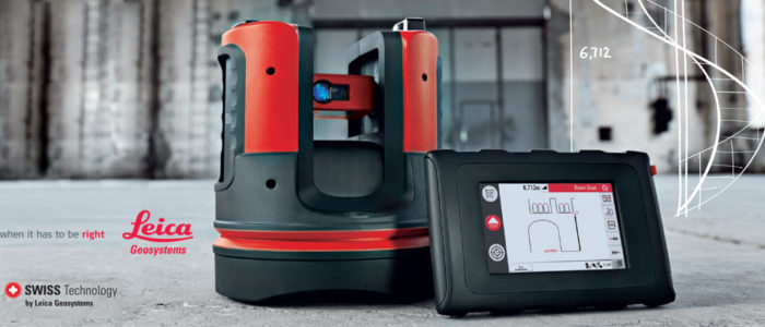
With close to 200 years of experience pioneering solutions to measure the world, Leica Geosystems products and services are trusted by professionals worldwide to help them capture, analyze, and present spatial information. Leica Geosystems is best known for its broad array of products that capture accurately, model quickly, analyze easily, and visualize and present spatial information.Those who use Leica products every day trust them for their dependability, the value they deliver, and the superior customer support.
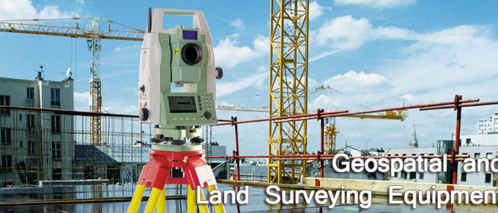
The equipment ranges from electronic total stations and GIS (Geographic Information Systems) to GPS (Global Positioning Survey Systems). The Surveying Equipment division moreover supplies optical and digital levels, theolodites, 3D laser scanners and trackers as well as laser distance meters. Our area of involvement also covers photogrammetry, software applications and machine automation for graders and pavers used in road making.
